Photos
|
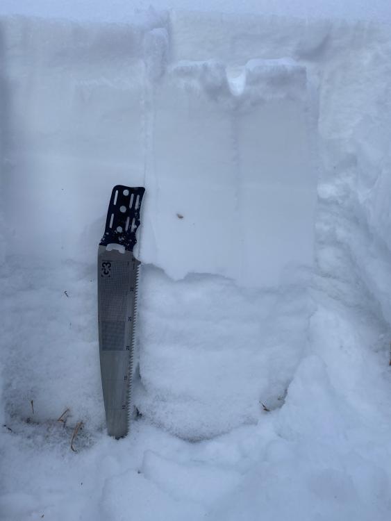
Southern Gallatin, 2023-12-08 From obs: "Dug into the hillside right before going up the creek. Snow pack was 75 cm deep consisting of three layers. Bottom 35cm is obviously faceted, grain size is around 2mm. Very thin ice crust at around 35cm. Upper 35 cm of snow is brand new snow from this current storm, precipitation particles, low density, with minor wind effect. Performed a quick Compression Test and the ice crust layer failed on the second tap." Photo: S. Gralla |
|
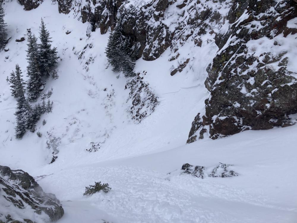
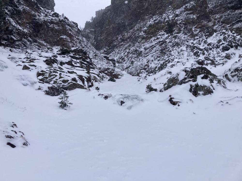
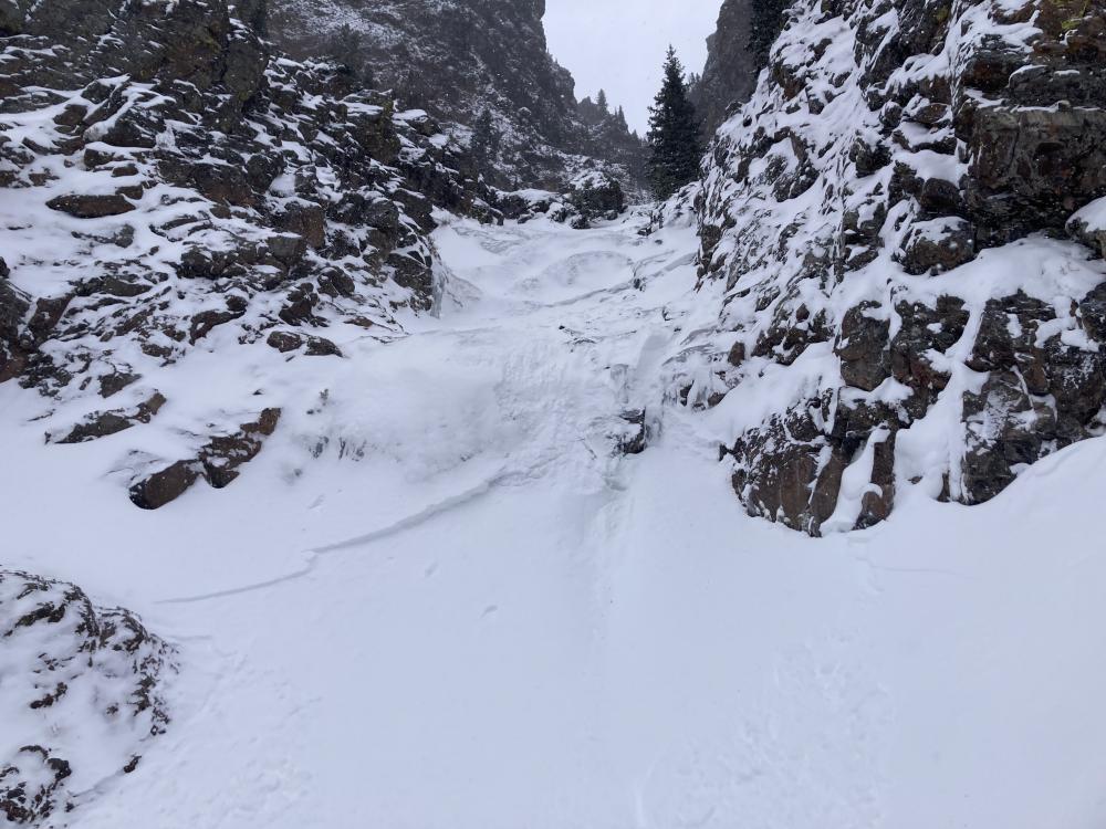
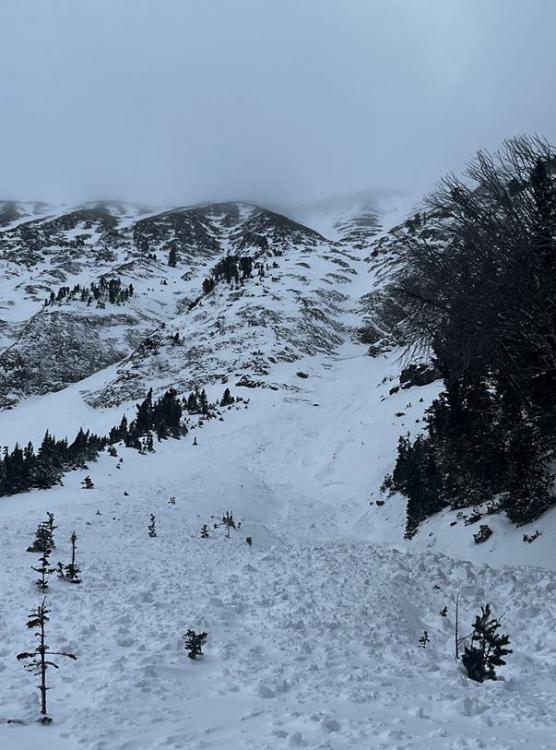
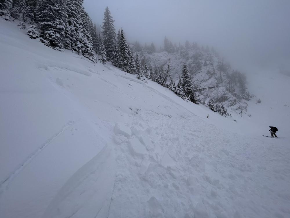
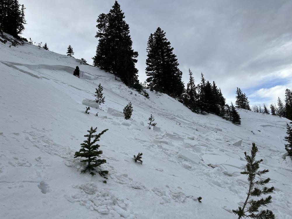
Northern Gallatin, 2023-12-08 From obs: "On descent this new snow was touchy, and we observed 2 natural avalanches, max depth 15 cm, on the small end of size 1, F hardness, running less than 30-50m exclusively in new snow. (SS-N-R1D1-N)" Link to Avalanche Details |
|
Northern Gallatin, 2023-12-08 From obs: "On descent this new snow was touchy, and we observed 2 natural avalanches, max depth 15 cm, on the small end of size 1, F hardness, running less than 30-50m exclusively in new snow. (SS-N-R1D1-N)" Link to Avalanche Details |
|
Northern Gallatin, 2023-12-08 From obs: "On descent this new snow was touchy, and we observed 2 natural avalanches, max depth 15 cm, on the small end of size 1, F hardness, running less than 30-50m exclusively in new snow. (SS-N-R1D1-N)" Link to Avalanche Details |
|
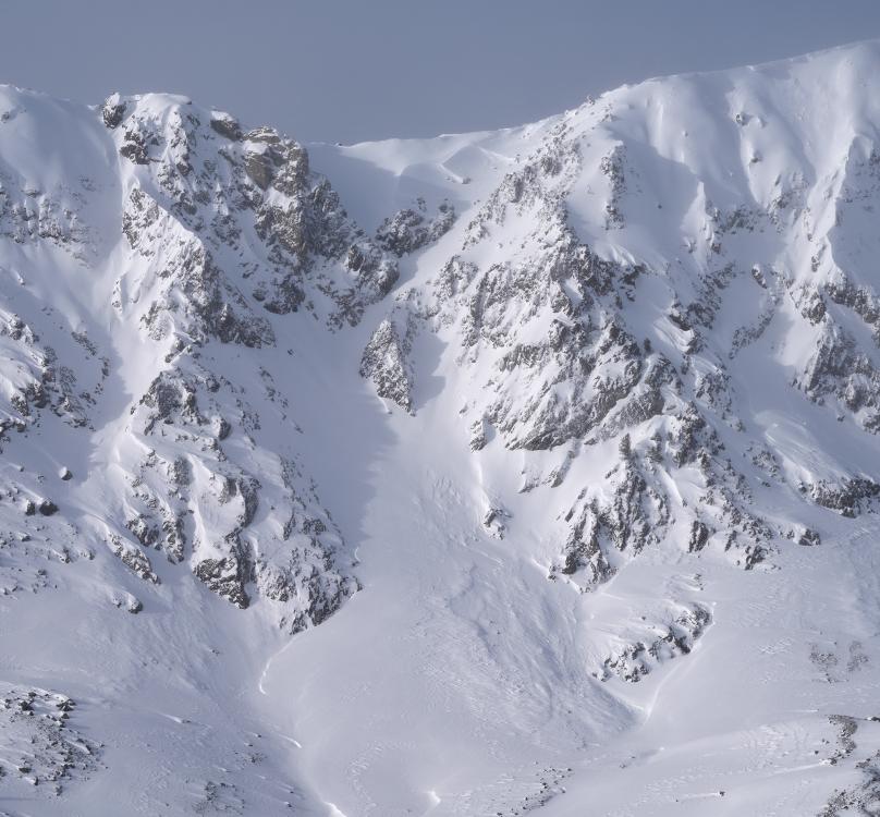
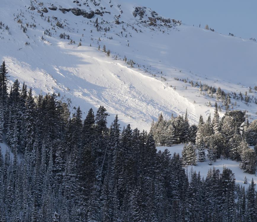
Northern Madison, 2023-12-08 Natural avalanche in closed terrain at Big Sky Ski Resort on 12/7/23. Photo: BSSP "A large natural slide came down from 3rd Fork, stepped down in the Elbow and again in the cone, and ran almost to the runout of Obsidian. Naturals came out of most of the Headwaters, with both Firehole and Hellroaring stepping down into old snow in the cones." |
|
Bridger Range, 2023-12-07 Skier triggered avalanche at the bottom of the 2nd/3rd finger at Bridger Bowl. Link to Avalanche Details |
|
Northern Madison, 2023-12-06 Big Sky Ski Patrol triggered hard slab avalanches during their avalanche mitigation work. Photo: BSSP |
|
Cooke City, 2023-12-06 We rode up Daisy Pass road... saw a couple 8-10" deep natural avalanches on the steep slopes above Miller Creek that probably ran in the last 24-48hours. We had multiple collapses on the NE facing slope where we ski toured to dig our second pit. Photo: GNFAC Link to Avalanche Details |
|
Cooke City, 2023-12-05 Constant red flags on W Henderson. Link to Avalanche Details |
|
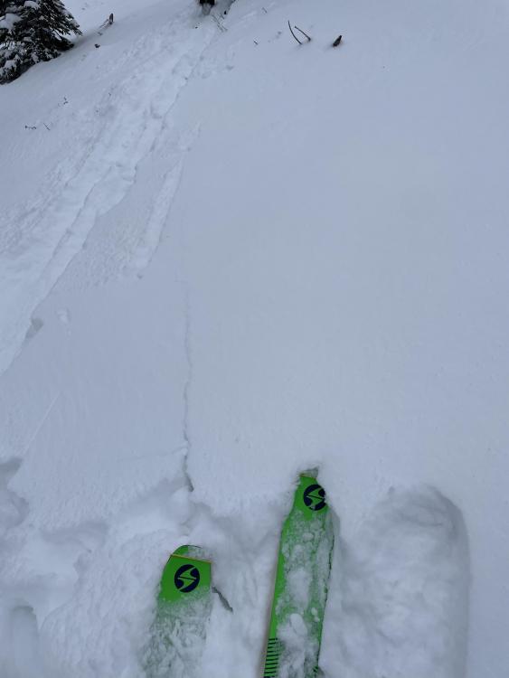
Southern Madison, 2023-12-05 From text message: "The attached picture is a little slide that went off when I was doing small turns on an adjacent slope. That's Beaver Slide! There was more small slides south in the trees. Heard whumphing here and there." Photo: J. Onken Link to Avalanche Details |
|
Cooke City, 2023-12-04 From obs: "Lots of cracking and collapsing on skin track and ski cuts were reactive on steeper slopes. Dug on NE slope 9640'. HS 110cm ECTN 12 & ECTN 14 40cm down." Photo: R. Youngbar |
|
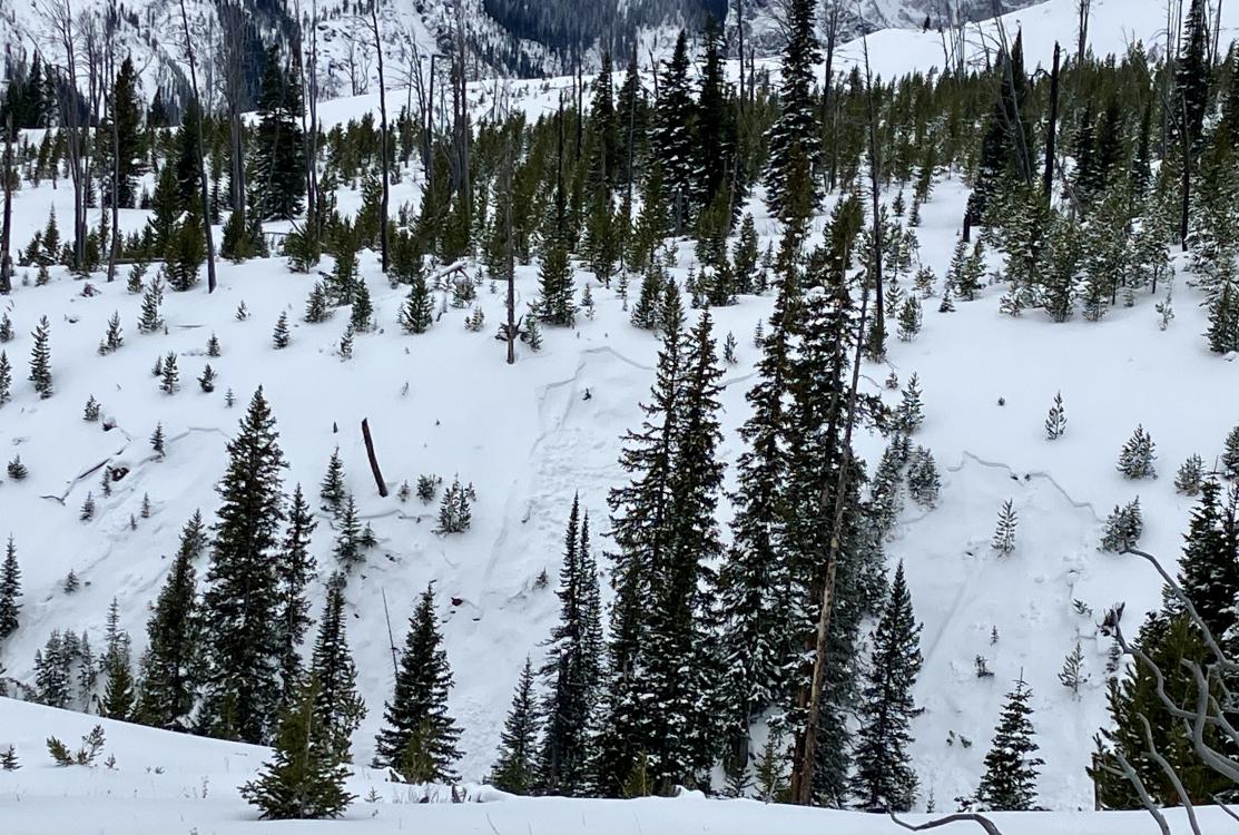
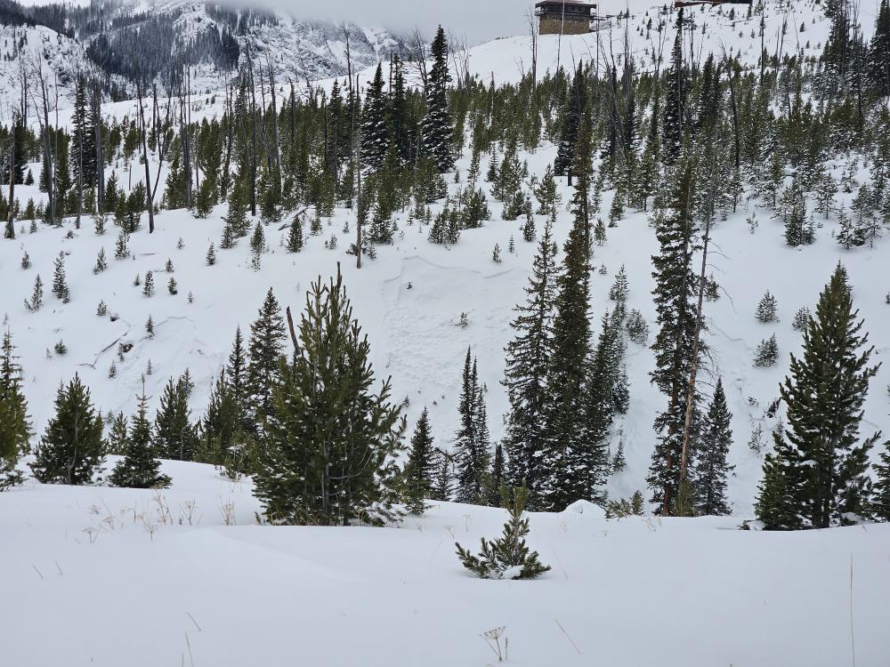
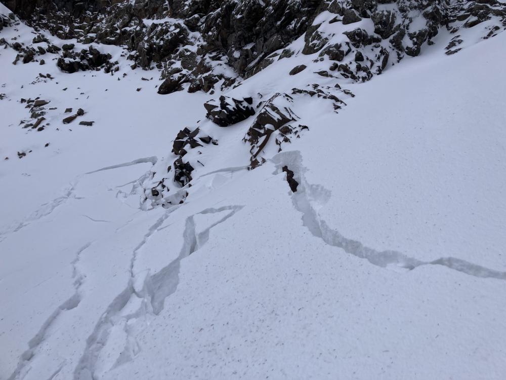
Northern Gallatin, 2023-12-04 Climbers in the Dribbles area of Hyalite Canyon collapsed a slab of wind-drifted snow resulting in a spider web of shooting cracks. Photo: Sam
|
|
Northern Gallatin, 2023-12-04 Climbers in the Dribbles area of Hyalite Canyon collapsed a slab of wind-drifted snow resulting in a spider web of shooting cracks. Photo: Sam
|
|
Lionhead Range, 2023-12-03 From IG: “Skied in the lions head today on a northeast slope at 8,300 feet. Clear wind loading and reactive cornices, however storm snow was low energy with little movement. 10-14 inches of medium density snow. Whumpfing was noticed on all slopes on the eastern half of the compass.” Photo: O. Desroches |
|
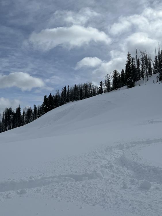
Bridger Range, 2023-12-03 From obs: "Skinned above alpine lift (just beyond the beacon checker) to get an idea for snowpack depth/ layers. A quick dig revealed a shallow, faceted snowpack!" |
|
Cooke City, 2023-12-03 Skied around Mt. Henderson today. Was finding around 28-35 cm of new snow at 9k'. Perhaps 10cms in town. Light density. Minor wind effect. Partly cloudy morning, turning mostly cloudy. Cold temps. Calm to light winds where I was, but lots of snow was being transported off the exposed ridgelines south of town. Quite a bit of cracking of the new snow this morning while breaking trail and while skiing, even though the wind effect was still Fist hardness. A couple of collapses noted as well in the deeper drifts. Photo: B. Fredlund Link to Avalanche Details |
|
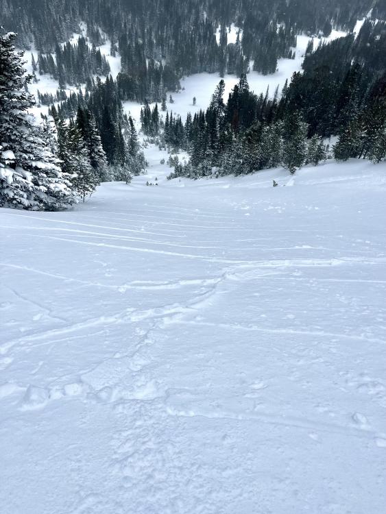
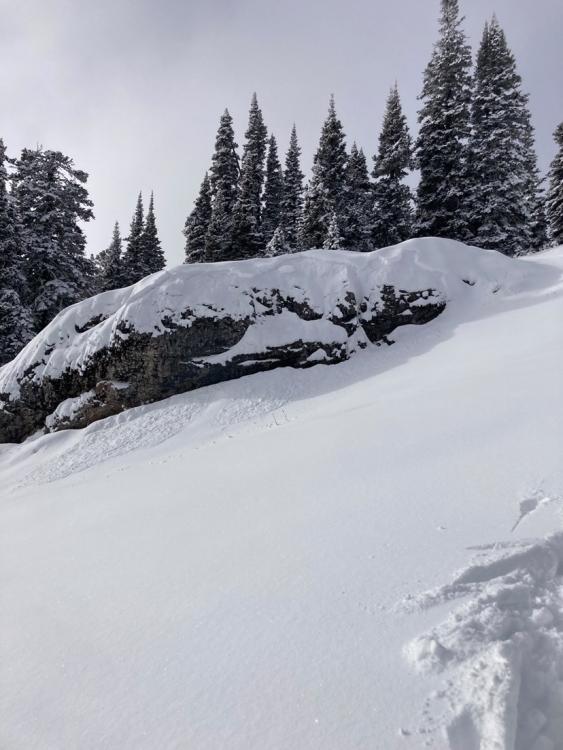
Bridger Range, 2023-12-02 Shooting cracks on the apron. Shallow and firm but reactive windslab breaking on the faceted layer bellow it. About 10cm of new snow sitting atop the windslab as of this afternoon. Photo: C. Bayles |
|
Northern Gallatin, 2023-12-02 At 9,000 feet there was about an inch of new snow. It was calm at first light, but by mid morning winds were gusty and blowing straight down the gullies. It stripped what little snow there was and did not create an avalanche hazard. However, the 6+" in the gullies are all faceted, and with even a thin wind-load it was easy to get cracking. With snowfall predicted for the next 48 hours and again later this week, we'll need to be on the lookout for pockets or gullies of wind blown snow. |
|
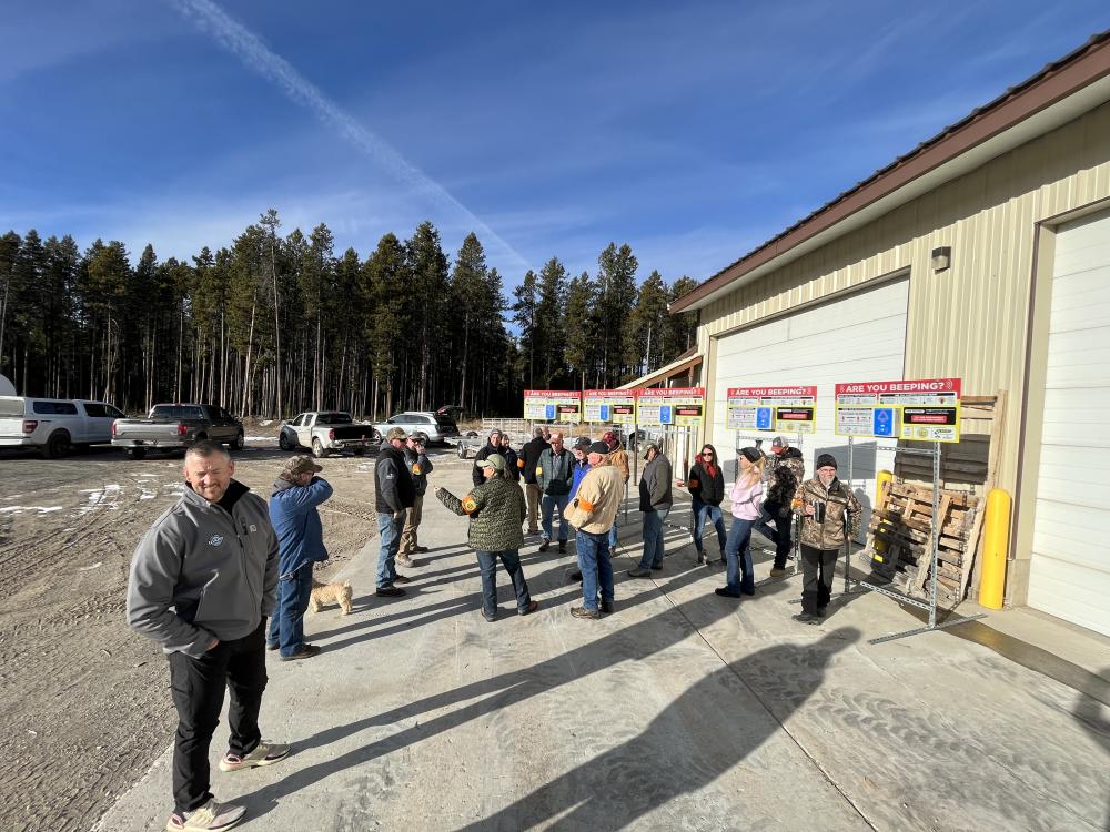
Island Park, 2023-11-30 We met up with the Fugawee Snowmobile Club, Idaho Parks and Recreation, and Klim to install new beacon checkers at the trailhead in Island Park. Great work to the team! Photos: GNFAC |