Photos
|
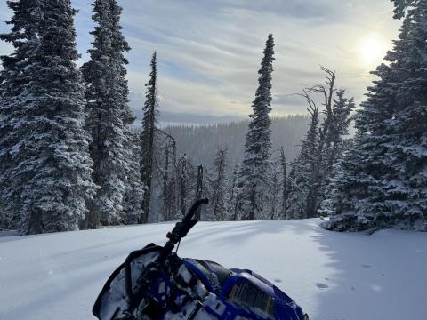
Island Park, 2024-01-07 New snow in Island Park made for beautiful views and heightened avalanche danger as the new snow fell on a snowpack riddled with weak layers. Photo: GNFAC |
|
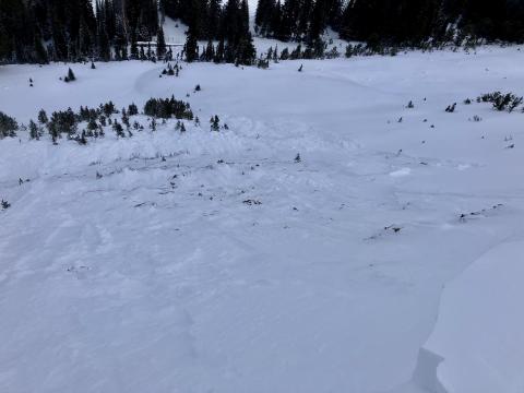
Northern Madison, 2024-01-06 This natural avalanche happened following recent snow on 01/05, likely on the morning of 01/06. Photo: GNFAC Link to Avalanche Details |
|
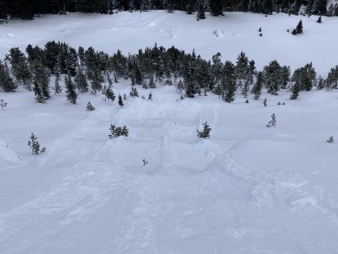
Northern Madison, 2024-01-06 From Obs: "Loose snow avalanches were still sensitive to triggers. These avalanches would start in the new snow but entrain the weak faceted snow below resulting in larger avalanches than what recent storm snow could produce on its own." Photo: GNFAC Link to Avalanche Details |
|
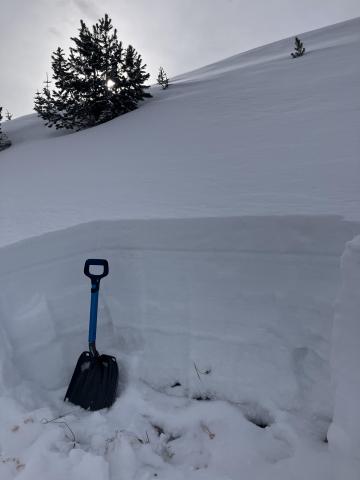
Northern Madison, 2024-01-06 Snowpit in Second Yellow Mule. The gray line above the shovel is a layer of well-preserved buried surface hoar 12-16mm in size. Photo: GNFAC |
|
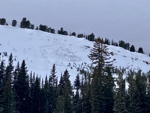
Northern Madison, 2024-01-06 This natural avalanche happened following recent snow on 01/05, likely on the morning of 01/06. Photo: GNFAC Link to Avalanche Details |
|
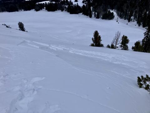
Northern Madison, 2024-01-06 Remotely triggered avalanche on a test slope in Muddy Creek. Photo: GNFAC Link to Avalanche Details |
|
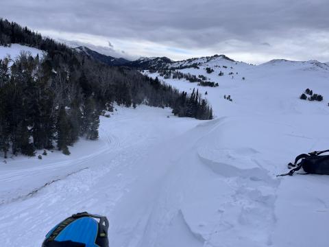
Northern Madison, 2024-01-06 Avalanche on a steep rollover near Muddy Creek that was likely triggered remotely while approaching on foot or from above by snow machine. Photo: GNFAC Link to Avalanche Details |
|
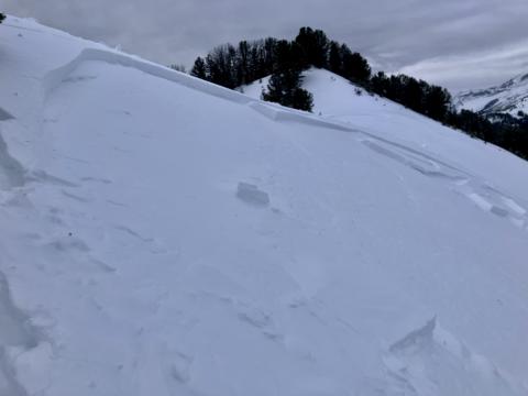
Northern Madison, 2024-01-06 Remotely triggered avalanche on a test slope in Muddy Creek. Photo: GNFAC Link to Avalanche Details |
|
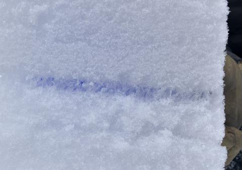
Northern Madison, 2024-01-06 Buried well-preserved surface hoar found at Buck Ridge, 10-12mm in size. Photo: GNFAC Link to Avalanche Details |
|
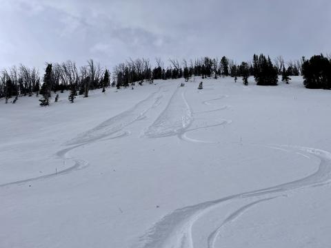
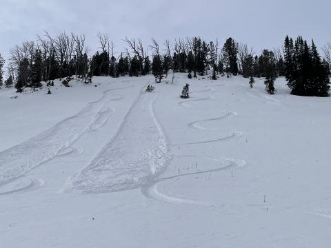
Northern Madison, 2024-01-06 From obs: "With no slabs, there wasn’t any propagating but with a heavy ski cut two of the point releases were triggered, and the third when skiing. All three went to the ground. All triggered after the first skier made no impact on the slope." Photo: Anonymous Link to Avalanche Details |
|
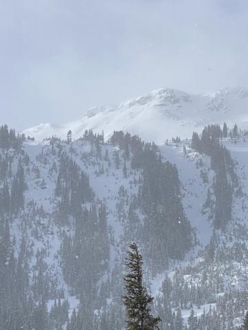
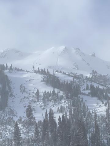
Cooke City, 2024-01-05 Loose snow avalanche observed on Henderson Mountain following yesterday's (01/04) storm. Photo: J. Padilla Link to Avalanche Details |
|
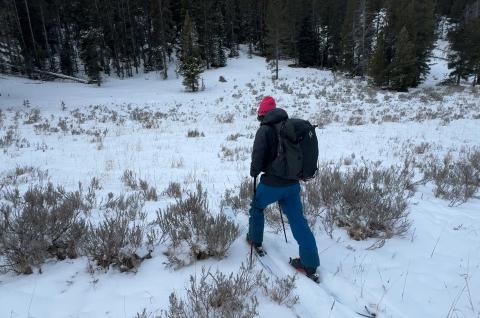
Cooke City, 2024-01-05 Small loose snow avalanches on Henderson Moutain following a storm on 01/04. Photo: J. Padilla Link to Avalanche Details |
|
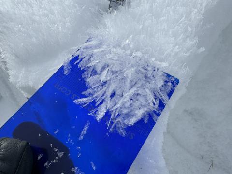
Southern Madison, 2024-01-02 Doug Chabot (expert sage brush forecaster) reported that the sagebrush danger is rated HIGH in the meadows below Bacon Rind. The danger of downed trees blocking the skin track is CONSIDERABLE at low elevations; cautious route-finding is essential :-). Photo: GNFAC |
|
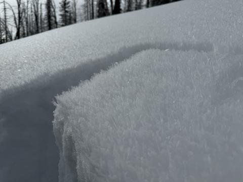
Southern Madison, 2024-01-02 Doug scoops up the feathers of surface hoar crystals at Bacon Rind. Photo: GNFAC |
|
Southern Madison, 2024-01-02 Big feathers of surface hoar on all slopes at Bacon Rind. Photo: GNFAC |
|
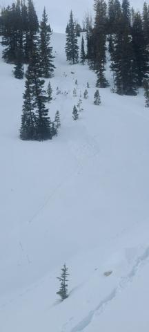
Northern Madison, 2024-01-01 A skier in Bear Basin intentionally pushed a loose snow avalanche downhill. The avalanche consisted entirely of unconsolidated facets. Photo: N. Davies Link to Avalanche Details |
|
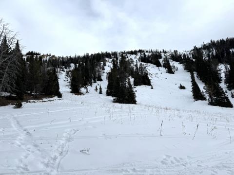
Northern Madison, 2024-01-01 The snowpack in Beehive Basin was thin, a maximum of two feet deep, and it had entirely transformed into piles of weak facets. Photo: GNFAC |
|
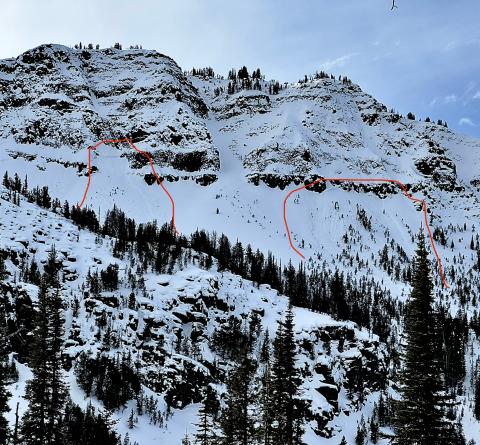
Out of Advisory Area, 2023-12-31 Natural Avalanches in Jardine, likely occurred last week 12/26. Photo: O. Dalling Link to Avalanche Details |

|
Cooke City, 2023-12-31 Alex Marienthal getting ready to continue snowmobiling around Cooke City on the north side of Sheep Mountain. Photo: GNFAC |
